Geographical information system (GIS) is a framework with the unique capability of displaying the information in form maps and 3D scenes. In the digital world, GIS carries lots of importance in visualizing the problem and its solution. This blog further explains about creating the geo-location capabilities.
GIS
Geographic information system is a computer-based system for capturing, saving, manipulating, and displaying data related to positions on the Earth’s surface.
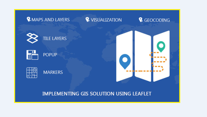
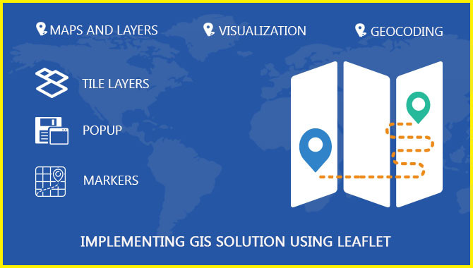
In our previous blogs, we learned about GIS and their data models as well as Implementation leaflet for GIS solution….
A geographic information system (GIS) is designed to store, retrieve, manage, display, and analyze all types of geographic and spatial…
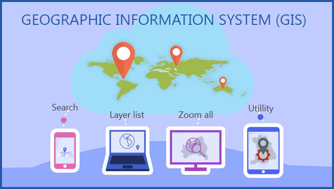
Geographic information system (GIS) is a computer-based system for capturing, saving, manipulating, and displaying data related to positions on the…